We discovered during the day that the very large nests Dennis commented on yesterday, are made by Social Weaver Birds. So named because they build these communal nests, housing many birds.
We left our campsite at Die Mas Vineyard beside the Orange River at 10am. Stopping at the Restaurant/Coffee Shop/Wine Tasting building for coffee and to use their wifi to post the blog. Sadly, no coffee. It was a load shedding period, so no electricity for the coffee making machine. The owner and staff were all very friendly and invited us to sit by the roaring fire. It was a chilly morning, so this was appreciated.
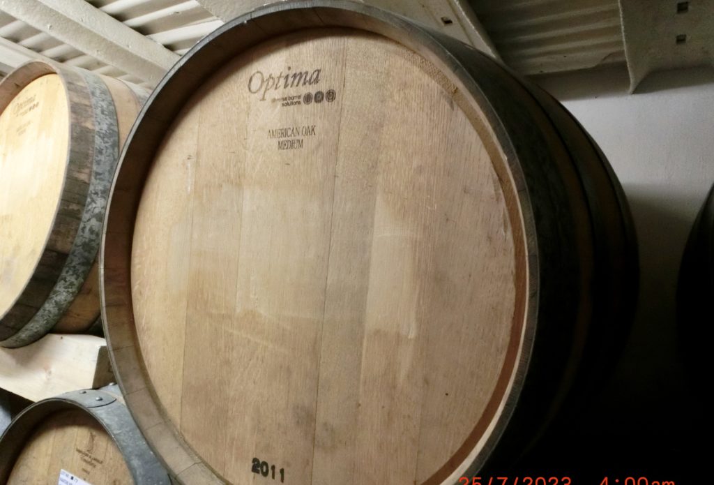
Yesterday, when we came for the gin tasting, we were also given a tour of the cellars and the production area. Three cellars full of aging brandy in French oak barrels. Die Mas does produce some wine, and gin, but brandy is their largest product.
It was quite a shock yesterday when driving into Kakamas. After a very arid and barren landscape, arriving into Kakamas we were greeted by acres of vines and citrus fruit trees. All presumably produced by irrigation from the Orange River. There seemed to be an elaborate system of water channels running everywhere. What was less pleasing to see was that all the vines and fruit trees were fenced with rolls of barbed wire, or electric fences. Solar panels for running equipment, erected on poles, were also swathed in barbed wire.
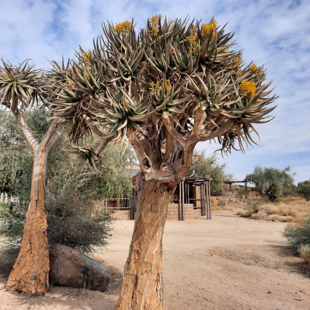
This morning we headed for Augrabies Falls. The approach to the falls was via the Quiver Route. Named after the Quiver Trees which are common in this area. They are called Quiver Trees because the San people used part of the trees to make quivers for their arrows.
I had hoped we would be able to see the falls without having to enter the Augrabies National Park. The National Park fees are quite high. As feared we arrived at a National Park gate and had to fill in a form with our personal details. We were given instructions to head 3 kms into the park and then to reception to pay the fee. Rand 500. £10 or NZD20 per person,
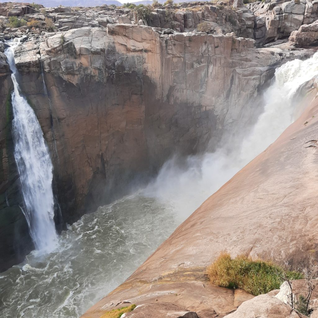
Once we arrived at the parking, we went straight to the falls. We passed some display boards with photographs of 3 years when floods had produced the most dramatic scenes at the falls. The worse flood being in 1988 when 6,000 cumec’s (cubic meters per second) passed over the falls. There was another serious flood this year. We thought it had happened recently, as some of the walkways had been damaged or washed away.
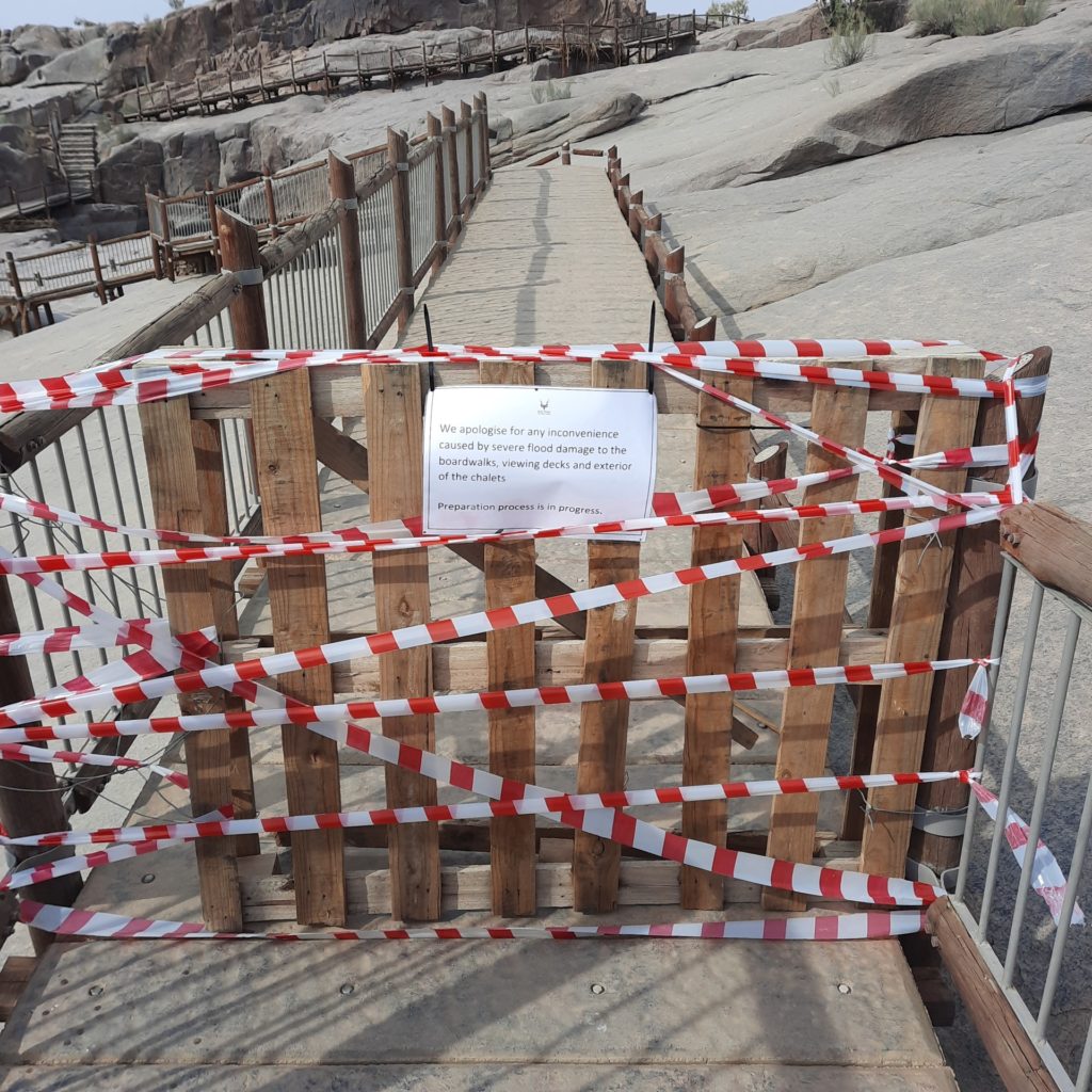
On our return from visiting the falls, we went to the reception to pay. I knew we would not get out of the park without presenting our receipt. I asked the receptionist how long ago was the most recent flood. Surprisingly she advised in February. However, being in South Africa, I suppose we shouldn’t be surprised that the walkways remain un-repaired.
As we had paid the Rand 500 to enter the park, we thought we would drive in a short distance and have a picnic lunch. Hopefully, we would see some animals too. We don’t seem to be very good at locating animals. All we saw were lots of dassies on the rocks, when we walked to falls, and some baboons when driving into the park.
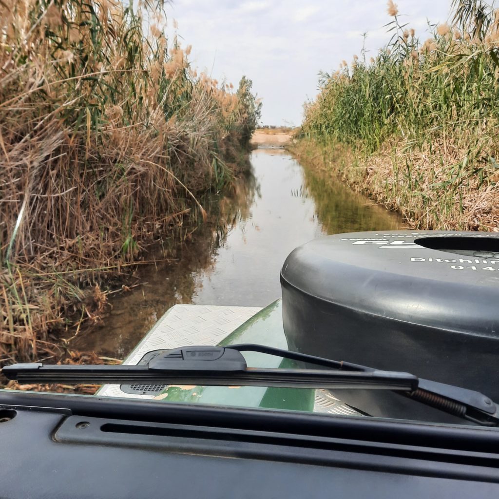
As we wanted to cross the Namibian border to day and drive about 100 kms once over the border to the first camp, we didn’t have time to explore the park further
We set off for the Onseepkans border, some 140kms. Retracing our steps towards Pofadder on the straight, sealed N14, we made fast progress. We had to take, what appeared on the map as a track, the C10, but found it was sealed. At least to start with, the last 60 kms though were dirt. The scenery was spectacular.
Crossing into Namibia
We arrived at the South African exit border and were greeted by friendly officials. We were the only people at the border and within minutes our passports and Carnet de Passage had been stamped and we were waived in our way to the Namibian side of the border. An equally friendly lady welcomed us here and again the formalities were quick. We had to fill in an entry form and pay for a Cross Border Charge. Crossing both borders had taken us about 20 minutes.
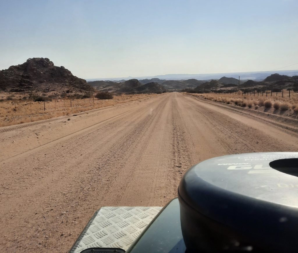
The drive from the Onseepkans border to the first town of Karasburg, where we wanted to camp for the night, was another 100 kms. This was a lovely smooth, dirt road. We passed one vehicle and one farm house on the entire journey.
Once in Karasburg we stopped at an ATM to get some Namibian Dollars. We easily found the campsite at Sunset Chalets in the edge of town. A very friendly welcome. We are parked at one of the chalets where we can use the facilities.
We quickly set up the tent as darkness wasn’t far away and the sky was looking ominous. We cooked dinner and went back to reception to use the wifi. As we sat in reception thunder rattled around. It seems to have passed and, so far, there is no rain. I hope we get through the night without any.
Views: 57
